X XFediYour place in the Fediverse
XFEDI

#RSpatial

ActivityPub

Public posts with this hashtag.

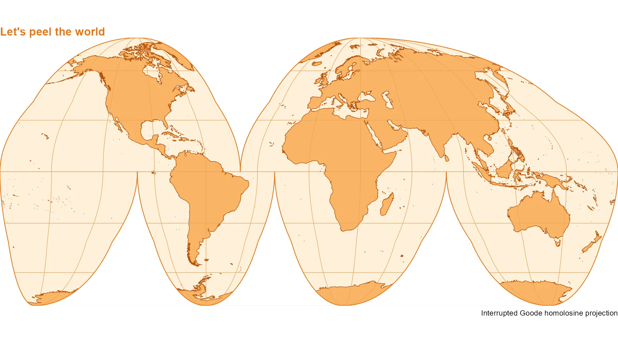
Let’s peel the world #r_bloggers #beautiful_maps #rstats #rspatial #maps #ggplot2 #sf #giscoR
https://dieghernan.github.io/202610_orange-peel/

One WorldLet’s peel the world | One WorldDo you know the interrupted Goode homolosine projection? - What would happen if we peeled the Earth like an orange? The interrupted Goode homolosine projection gives us something close to that! This equal-area projection preserves relative areas while splitting the world map into lobes. Add a few shades of orange and our world is ready to peel.

↩ Reply ♡ 0 · ↻ 0 ↗ Original

How do you make spatial visualization scale?

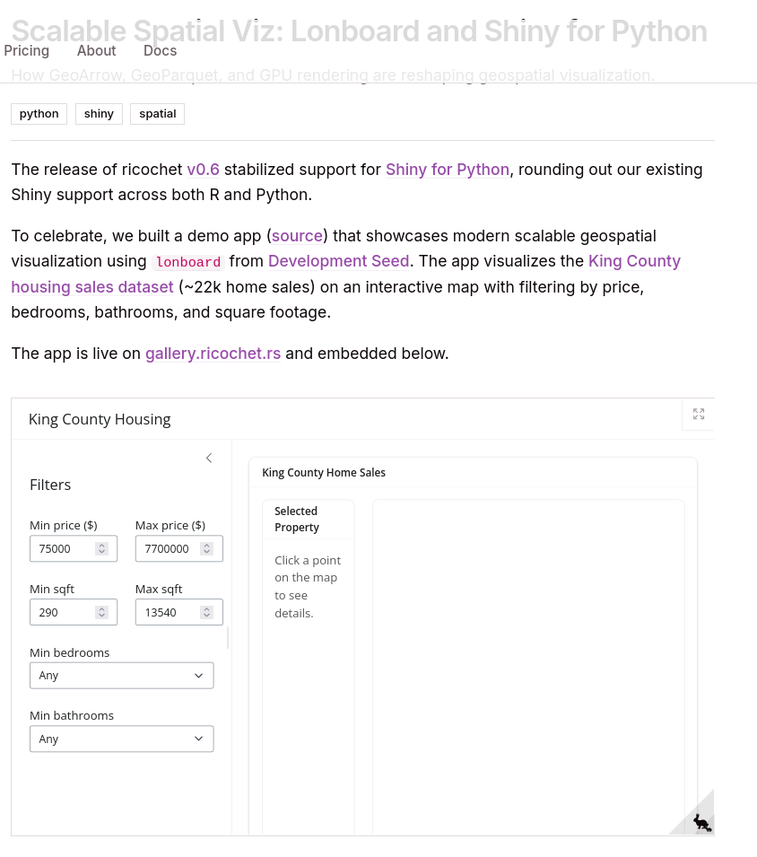
In a new post, Josiah Parry explains how Lonboard, GeoParquet, GeoArrow, and GPU rendering enable fast, scalable spatial visualization in Python -- and highlights similar developments in R.

https://ricochet.rs/blog/high-performance-spatial/

#GISchat #GeoPython #RSpatial #GeoParquet

Media attachmentMedia attachment
ricochetScalable Spatial Viz: Lonboard and Shiny for Python | ricochetHow GeoArrow, GeoParquet, and GPU rendering are reshaping geospatial visualization.
↩ Reply ♡ 0 · ↻ 0 ↗ Original

I often need to get mainland from country / administrative region polygons, so I finally decided to write a function to help automate it. Feedback welcome! https://modtools.wordpress.com/2026/10/20/get-largest-e-g-mainland-polygons-from-a-map/ #GIS #GISchat #Rstats #Rspatial #geospatial

modToolsGet largest (e.g. mainland) polygons from a mapI often need to get mainland from country / administrative region polygons, so I finally decided to write a function to help automate it. It selects the N largest feature(s) in a polygons or lines …
↩ Reply ♡ 0 · ↻ 0 ↗ Original